So what is the point of a drone survey? Why do we need to use drones to survey a building? The most important thing here is to be able to collect data about the current condition of the structure that is to be surveyed. Any type of building surveyor must acquire valuable information to be able to report back to their client about the current state of the premises. Accuracy here is key for a valid report.
Traditional Surveys
So how were surveys conducted before drone surveys? Usually using either ladders, lifting platforms, scaffold or by any means of raising the surveyor or engineer to the roof level.
As such, a body at height is susceptible to any danger that is associated with working above ground level. There are obviously a great many health and safety issues and risk assessments that must be conducted to get to that point for any surveyor to be working at any height.
Nevertheless this has always been the traditional method and for many years a tried and tested and proven formula. No matter how dangerous the situation was. Of course, once at height the surveyor may have been limited to the immediate surrounding area to where that part of the roof. Using any platform, certainly in a congested area such as a high street, near a road or a pedestrian walkway is not without its restrictions. There may also have been very little scope for seeing the roof as a whole, so somewhat limited in the overall view of the site.
The Drone Survey
How do drones operate? Well most that are used for drone roof surveying and inspection work operate within a 3d space environment, this obviously gives scope for huge amounts of flexibility. Being able to position a UAV (Unmanned Aerial Vehicle) anywhere in space is hugely useful for acquiring information for a surveyors report.
The flexibility and freedom of movement of an aerial vehicle is key to being able to see behind any structure, this gives way to capturing detail of ridges, valleys, gutters, abutments, fascias and every other roof characteristic that is otherwise unobtainable or certainly inaccessible from traditional surveying technique.
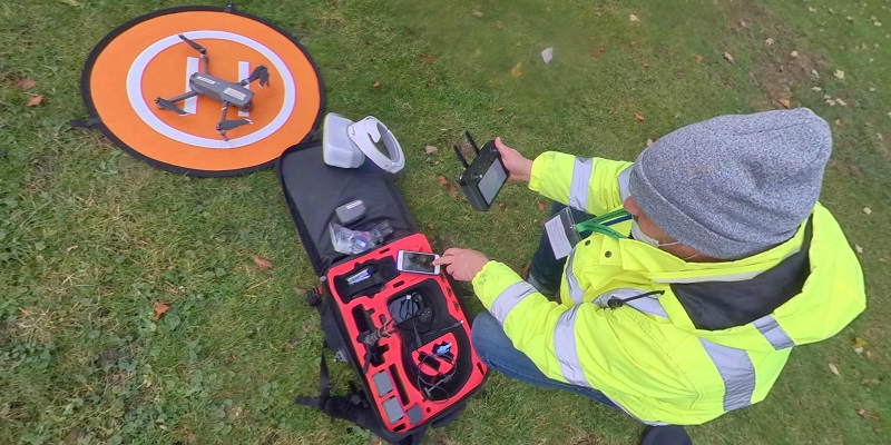
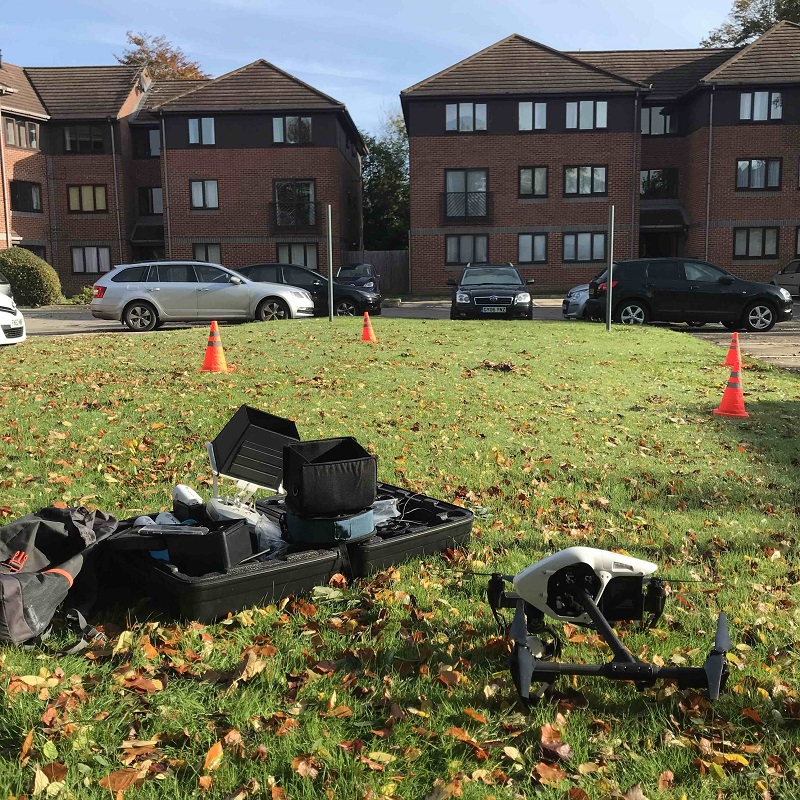
Of course the drone operator will generally be positioned on the ground close to the building in question. This itself is certainly the safest place to operate any aerial vehicle from.
The Safest Option
Certainly a more sensible option than being suspended or held up 40 or 50 feet in the air like on a ladder or cherry picker.
A drone can point a camera anywhere that is inaccessible to other methods of surveying techniques, the drone being able to operate in space can be made to acquire data with almost limitless possibilities.
Capturing high resolution photographic and video data that can be used for reporting is the surveyors greatest asset, proving to the client any issues and situations that require either short term, medium or long term resolutions.
More importantly, showing a customer detailed analysis is a great tool that installs confidence and provides accuracy. Using either photographic and or video data is obviously the most visual form of reference to anyone rather than reams and reams of written data as the old adage says “a picture paints 1000 words” this is not this could not be more true how easy it is to illustrate a point.
Another aspect of a survey is the time lapse, drones can collect data at various intervals throughout the year, so collecting data on a regular basis can be used to analyse the performance of the roof.
Its structure and all elements that go to make up any building are regularly inspected and can be monitored throughout its life and using photographic evidence all systems can be easily checked and configured.
Sensors And Information
There are many different types of drone survey: from large land mass survey operations to small and intricate housing or historical monument inspections.Drones carry a variety of sensors and imaging formats that allow various types of data to be acquired including LiDAR, infrared RGB.
As such most sensor types can be used to form digital mapping which is particularly useful in different industrial sectors, from agricultural to construction and building maintenance.
Heat analysis, insulation performance and roof structural operations can acquire a 3D format photographical survey.
Once all RGB photographic data has been captured using onboard or post production software, the GPS data is analysed. This can be used to form a point cloud or digital map.
This data in turn can then be used to create three dimensional models so accurate that measurements all over the building can be acquired.
The Data Sets
The data can be useful for budgetary and maintenance scheduling of a site, which is so accurate that materials and accessibility planning can be helped for construction planning.
As technology improves there will be real time analysis for many different operations some of which may be performed autonomously, or from remote locations where even the drone operator may be some distance away but yet still in complete control of the UAV.
It is already possible for a surveyor to remotely see what the drone camera is capturing over the web using YouTube or any other streaming technology. As such borders and time differences are no longer an issue, a true scope for working anytime.
Line Of Sight
Beyond visual line of sight is an important aspect of any drone survey and once all health and safety and risk assessment for individual cases has been completed and verified there is scope and big potential for various projects within construction, architecture building maintenance and surveying. Controlling the drone ‘out of sight’ means that the full potential of the drone control distance from the operator can be exploited. Imagine sending the UAV 2-4 kilometers away. With battery technology improving all the time the capacity to fly further and longer is constantly improving.
We hope this text has given a better idea to the flexibility and positive aspects that any drone survey can offer. So if you are looking for a London drone survey company, we welcome feedback and would be very interested to talk with potential clients about drone surveys their future with your company.